
Planning and Architecture
Scottish Greenspace Map – Launch of new features and open dataset
July 10, 2017 by Planning Directorate No Comments | Category Green Spaces
Scottish Greenspace Map
In 2011 the Scottish Greenspace Map (SGM) was released by greenspace scotland and the Scottish Government as the first of its kind anywhere in the world. Based on its success, the Scottish greenspace mapping approach has now been rolled out to England and Wales. The Scotland map has also been updated and enhanced, with an open dataset and other new features.
Since the launch of the SGM, partners in Scotland have been investigating options to ensure the data is maintained, and have made arrangements for Ordnance Survey (OS) to take on responsibility for ensuring the data is kept up to date.
This required the creation of a new methodology for OS to use to ensure that greenspaces are categorised on a consistent basis and allowing fair comparison. Accurately depicted within the dataset is the location and extent of recreational and leisure features and, for larger sites, their access points. Example features included in the data are every public park, every play space, playing field, golf course, tennis court, bowling green, allotment and more. The products released today also include new features such as identifying access points into greenspace.
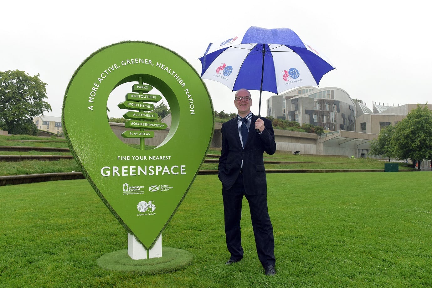
Kevin Stewart, Minister for Local Government & Housing, in greenspace at Holyrood outside the Scottish Parliament for the launch of the new greenspace map products.
Minister for Local Government & Housing, Kevin Stewart said:
“It is great to see Scotland leading the way on this. These free, up-to-date, comprehensive maps of accessible greenspace allow everyone to see where to go to enjoy our wonderful outdoors.
“Evidence shows that improving access to local greenspace benefits physical health, mental well-being and provides social opportunities. The Greenspace Map helps identify where there is a lack of open space so local authorities, public sector partners and community groups can develop plans to improve local neighbourhoods.
“These maps provide the cornerstone for open space strategies and green network plans, as well as supporting ground-breaking academic research on greenspace and health.”
Partnership Project
A multi-partner group has been behind the collaborative work to develop the methodology and products. The group includes Scottish Government with greenspace scotland providing project management, and involves partners from Scottish Natural Heritage, Forestry Commission Scotland, Scottish Environmental Protection Agency, NHS Health Scotland, sportscotland, Central Scotland Green Network Trust, Glasgow & Clyde Valley Green Network Partnership, CoSLA and the Improvement Service. Local authorities have been involved in developing the methodology and product specifications, and testing in pilot areas.
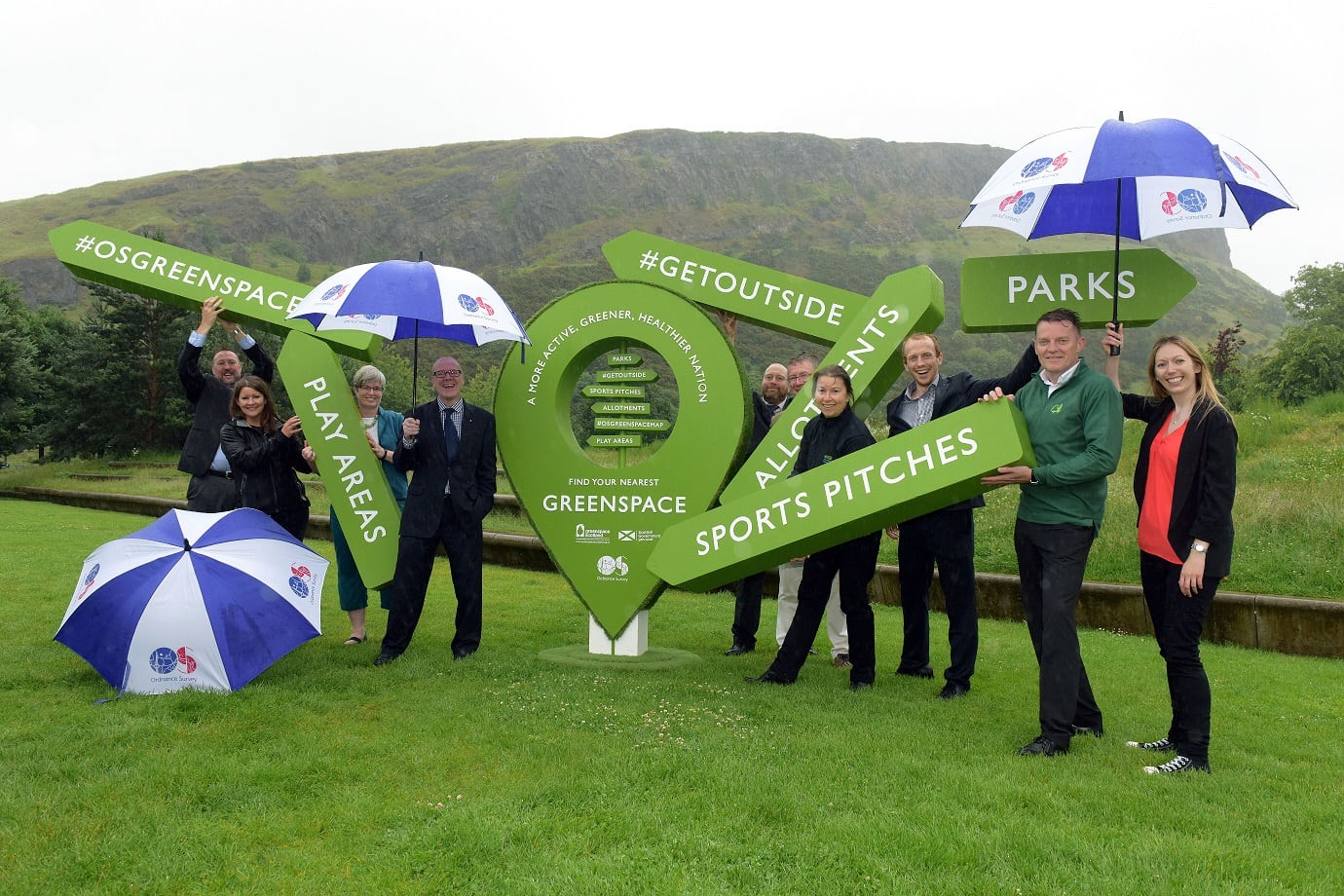
The Minister together with partners involved in the project Dominic Cuthbert Ordnance Survey, Kristen Anderson Scottish Government, Julie Proctor Greenspace Scotland, Iain Paton Improvement Service, Simon Rennie CSGNT, Sue Munro SNH, William Roper CSGNT, Howard Davies Forestry Commission Scotland and Felicity Rollings, Scottish Government.
New Map Products and Uses for the data
The OS project updates the Scotland Map and extends it to the rest of Great Britain, with the aim of making it easier for people to find and access every green corner of Britain’s neighbourhoods, towns and cities. This comprehensive map of Great Britain’s greenspaces is also available as an open dataset for communities and businesses to create products and services that will encourage healthier and greener lifestyles.
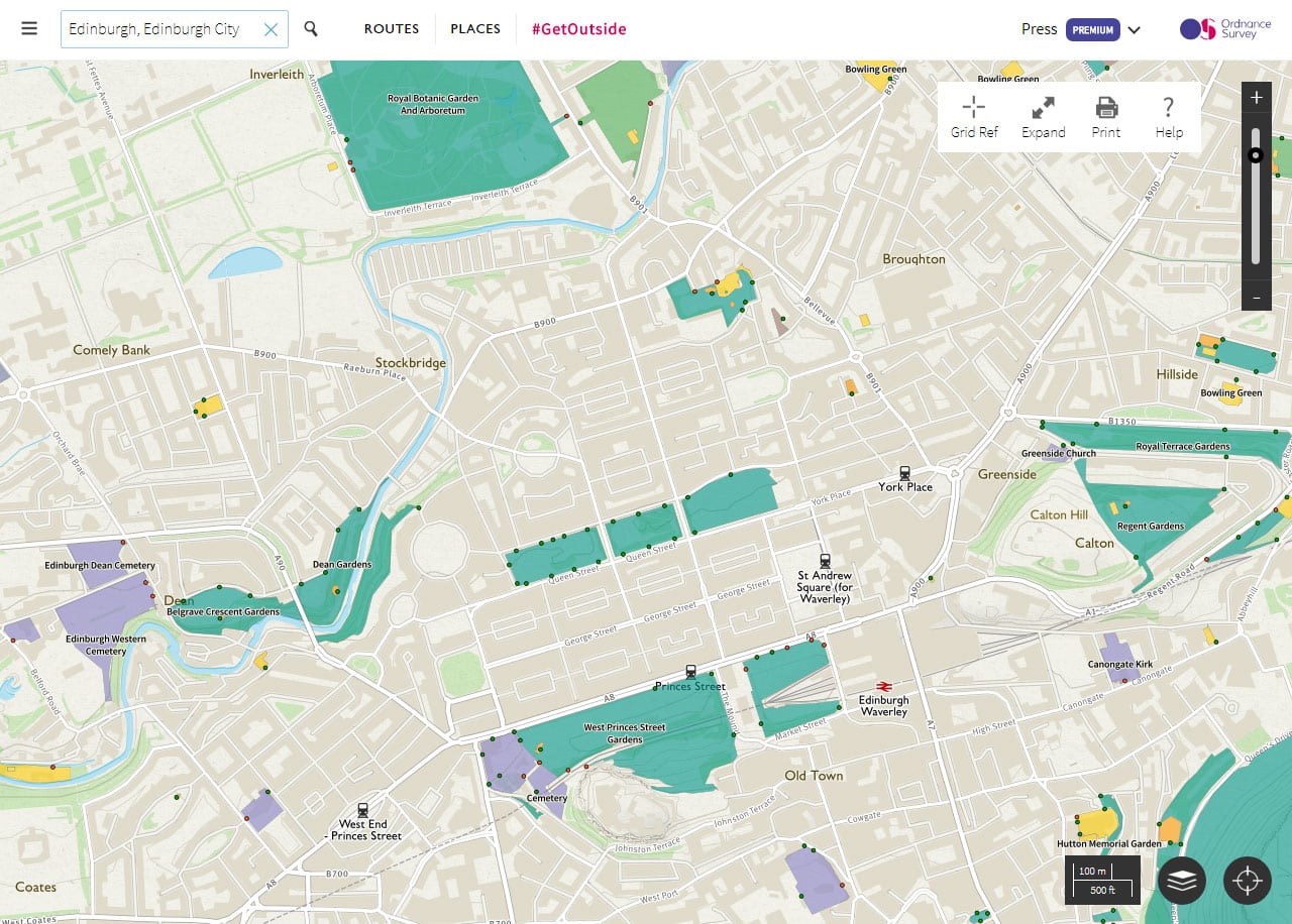
Extract of the #osgreenspace map showing greenspace in central Edinburgh
OS CEO, Nigel Clifford, says:
“Geospatial data can transform Governments, businesses and communities for the better. We see that through our work in Great Britain and internationally, and we’re excited to be one of those at the forefront leading this and making contributions of consequence and benefit. I’m particularly proud of this product as it delivers valuable information to the public, enabling people and families living in urban areas across Great Britain to discover the greenspaces near them. In addition to this, we’re also making the data open and freely available to anyone who can access it and begin experimenting and creating with. I look forward to seeing what people come up with.”
OS has also produced OS MasterMap (OSMM) Greenspace, a public-sector version of the greenspace map made available through the One Scotland Mapping Agreement. Aimed at giving the public-sector accurate and up-to-date geospatial data to improve planning, analysis and decision making, OSMM Greenspace contains the location of all publicly accessible and non-accessible greenspaces. The dataset will support the preparation of green infrastructure strategies and action plans to inform development plans, as required by Scottish Planning Policy. As well as greenspace initiatives, it is hoped the dataset will prove instrumental in helping the public sector create and manage health and wellbeing strategies, active travel plans and various environmental initiatives that include air quality, biodiversity, housing, regeneration and flood resilience.
Access the map and data
The free map contains data from Ordnance Survey (OS) and other sources, and can be used immediately. The dataset is available from OS via http://www.os.uk/opendata or can be viewed through the popular leisure planning and map app OS Maps via OS Maps www.os.uk/osmaps and available from the Apple and Android play stores. OSMA members can access OS MasterMap Greenspace through the usual Online Ordering Service.
Have your say
Follow @ScotGovPlanning to keep up to date with the latest news on the Scottish Greenspace Map and use #GetOutside and #OSgreenspacemap to join the conversation.