
Marine
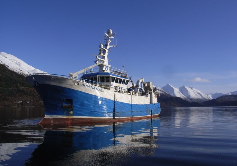
MRV Alba na Mara: Survey 0117A Programme
January 2, 2017 by Marine Directorate Communications No Comments | Category Compliance, Marine Directorate general, Marine Directorate Science, Marine Directorate Surveys, Research Vessel Surveys
Duration: 4-20 January 2017
Gear:
- Large TV drop frame;
- TV sledge;
- 1 x 600m umbilical towing cable;
- 1 x armoured cable;
- Video cameras and associated equipment (plus backup);
- Four lasers and 60cm bracket for the drop frame;
- 1 x BT201 prawn trawl (plus minimal spares);
- Day grab and table;
- Prawn sorting table; and
- Go Pro deep water housing.
Objectives:
- To obtain estimates of the Nephrops habitat distribution in the Inner Sound, to the east and south east of Raasay, using sediment grabs and underwater cameras.
- Weather permitting, to obtain estimates of the Nephrops habitat distribution to the east of Coll, the north west of Tiree and/or the west of Skye, using sediment grabs and underwater cameras.
- To obtain estimates of the distribution and abundance of Nephrops within these areas using underwater video cameras.
- To compare two different methodologies to establish Nephrops burrow abundance (sledge compared to drop frame).
- To use the video footage to record occurrence of other benthic fauna and evidence of commercial trawling activity.
- To collect trawl caught samples of Nephrops for comparison of reproductive condition and morphometrics.
Procedure:
The priority of this survey continues the work previously carried out in the sea lochs of the South Minch between 2014 and 2016 (0114A, 0115A and 0116A) where the extent of the muddy Nephrops habitat was mapped in areas where there is little or no BGS data available. The findings from earlier work in the North Minch were presented at WKNEPH 2013, and the outcomes from these South Minch surveys will also be presented a future WGNEPS meeting. This information will assist in providing advice in determining the extent and influence of Nephrops habitat in the sea lochs and areas of open water of the South Minch (Functional Unit 12), where previously little or no relevant information was available.
Each survey site will be located near to the boundary of the suspected Nephrops ground. The drop frame will be deployed to provide a visual record of the seabed type as the ship drifts over the ground.
The search path will continue in one direction until the presence or absence of muddy sediment becomes apparent. All video footage will be recorded onto DVD and significant observations will also be recorded manually. These observations will include the muddy sediment boundary, the point where Nephrops burrows begin to appear or disappear and any signs of anthropogenic activity.
The distance between, and the duration of each of these deployments will vary depending on the environmental conditions, obstructions (creels, fish farms, etc.), the size of the survey area and how quickly the boundary between Nephrops and non-Nephrops habitat is detected.
A Day Grab will be deployed at a suitable point along the track to obtain a sediment sample, and on recovery the sample will be frozen.
Once an area has been satisfactorily surveyed to establish the extent of the muddy habitat, depending on available time and the weather and sea conditions, a selection of stations may also be surveyed for Nephrops abundance, whereby the drop frame will be deployed over known Nephrops grounds. The vessel will drift over the ground whilst a 10 minute recording is made of the sea bed, during which time the number of Nephrops burrow complexes observed will be recorded. A sediment grab will be required following each of these operations. Due to the high probability of creels present in the proposed survey areas the drop frame will be used in preference to the sledge.
The areas to be surveyed will be defined by VMS, observer and SCOTMAP data but more specific details will be discussed with the ship’s officers prior to sailing.
If time and weather conditions permit, as well as the objective described above, in a separate exercise, a gear trial to record the abundance of Nephrops burrow complexes observed on the same ground using the drop frame and sledge will be carried out. The sledge will be deployed five times on known Nephrops grounds, in parallel tracks 200 m long and approximately 50 m apart. The drop frame will then be deployed over the same ground a further three times, with video of the sea bed being recorded at all times with both methods. This approach has previously been trialed, however, further repetitions are required for a more robust analysis of the results. It is hoped that in future this drop frame approach will be able to provide quantitative Nephrops burrow abundance data in areas where the sledge cannot be deployed. Details of the location where the trial is to be carried out will be discussed with the ship’s officers during the survey.
Trawling will take place when appropriate, with length, weight, sex and morphometric data being collected for DCF and MSS purposes.
The date and port for the half landing will be dependent on location and progress of the survey programme.
Tags: Alba na Mara, sampling

Leave a comment