
Marine
Watching nephrops on TV
January 5, 2018 by Marine Scotland Communications No Comments | Category Marine Directorate Science, Marine Directorate Surveys, Research Vessel Surveys
 Duration: 6 – 22 January 2018
Gear
- Large TV drop frame
- TV sledge
- 1 x 600m umbilical towing cable
- 1 x armoured cable
- Video cameras and associated equipment (plus backup)
- Four lasers and 60cm bracket for the drop frame
- 1 x BT201 prawn trawl (plus minimal spares)
- Day grab and table
- Prawn sorting table
- Go Pro deep water housing
Objectives
- To obtain estimates of the Nephrops burrow abundance to the north of Jura using the sledge UWTV system.
- To compare two different methodologies to establish Nephrops burrow abundance (using the sledge and drop frame UWTV systems).
- Weather permitting, to obtain estimates of the Nephrops habitat distribution in the area west of Mull and to the east of Coll and Tiree, using the drop frame UWTV system and sediment grabs.
- To obtain estimates of the Nephrops burrow abundance in the Inner Sound using the most appropriate UWTV system.
- To use the video footage to record occurrence of other benthic fauna and evidence of commercial trawling activity.
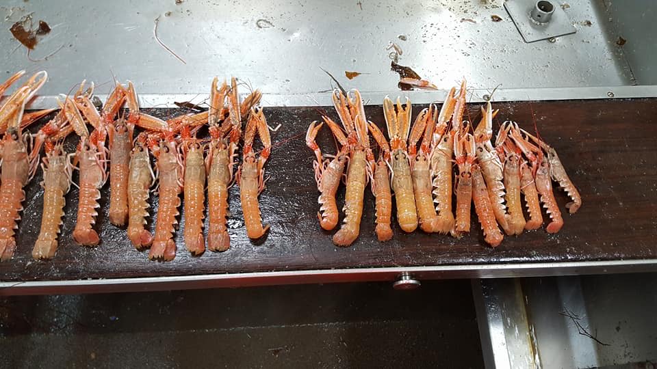
- To collect trawl caught samples of Nephrops for comparison of reproductive condition and morphometrics.
Procedure
Survey activity will be very dependent on the weather, and it may be required to alter the work plans during the survey.
The priority of this survey will be to study in greater detail than is presently undertaken on the summer UWTV Nephrops survey on MRV Scotia, the area to the north of Jura using the UWTV sledge.
The location of the survey sites will be provided ahead of the survey.
The second objective is to follow on from work carried out in previous surveys, and spend at least two days performing comparative trials between the drop frame and sledge UWTV systems in an appropriate area in the South Minch. The sledge will be deployed five times on known Nephrops grounds, in parallel tracks 200 m long and approximately 50 m apart. The drop frame will then be deployed over the same ground a further three times, with video of the sea bed being recorded at all times with both methods. This work requires additional data to generate a larger data set to allow for a more robust analysis of the results.
It is hoped that in future this drop frame approach will be able to provide quantitative Nephrops burrow abundance data in areas where the sledge cannot be deployed. Details of the locations where the trials are to be carried out will be discussed with the ship’s officers during the survey, and will depend on weather and survey progress.
Weather permitting, the third objective involves habitat mapping work, and will be carried out in the area between Mull, Coll and Tiree, using the drop frame UWTV system. This continues the work first started in 2014 which is aimed at mapping the distribution of muddy habitat suitable for Nephrops in the South Minch in which the British Geological Survey has little or no data.
Site locations will be provided prior to the cruise. Each survey site will be located near to the boundary of the suspected Nephrops ground. The drop frame will be deployed to provide a visual record of the seabed type as the ship drifts over the ground. The search path will continue in one direction until the presence or absence of muddy sediment becomes apparent. All video footage will be recorded onto DVD and all significant observations will be recorded manually. These observations will include the boundary of the muddy sediment, the point where Nephrops burrows begin to appear or disappear, and any signs of anthropogenic activity.
The distance between, and the duration of each of these deployments will vary depending on the environmental conditions, obstructions (creels, fish farms, etc.), the size of the survey area and how quickly the boundary between Nephrops and non-Nephrops habitat is detected. A Day Grab will be deployed at a suitable point along the track to obtain a sediment sample, and on recovery, the sample will be frozen.
Depending on the time available and having completed the previous objectives outlined above, it is hoped to be able to survey the Inner Sound using the most appropriate system (depending on creel densities in the area) for Nephrops burrow abundance. This will involve a standard abundance tow, in that the survey positions will be randomly generated (and supplied prior to the survey), with each tow lasting ten minutes, with the footage being recorded to DVD and the other essential data being recorded directly to PC.
Further Information:

Leave a comment