
Marine
Rockall and Mackerel
May 28, 2018 by Marine Directorate Communications No Comments | Category Fisheries, Marine Directorate general, Marine Directorate Science, Marine Directorate Surveys, Research Vessel Surveys
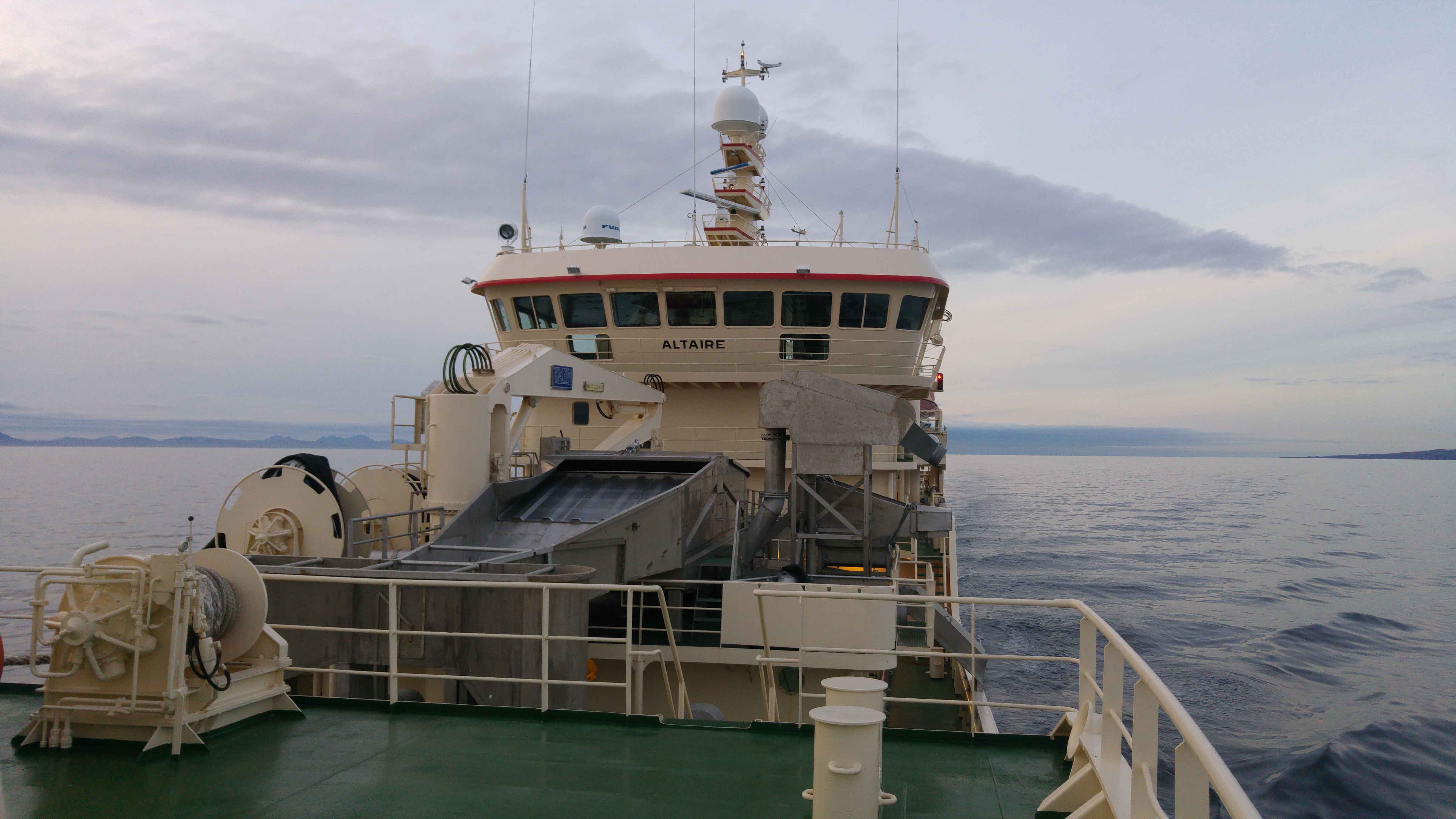
Survey: 0118H MFV Altaire
Duration: 22 May – 6 June 2018
Fishing/Sampling Gear: Gulf VII plankton sampler
Objectives:
- To carry out standalone mackerel egg survey, on the western shelf and slope in the area from 52o N to 59o N (see Figure 1).
- Opportunistic trawling for adult mackerel samples; for exploratory ovary analysis.
Procedures:
After completing flow-meter calibrations the vessel will proceed through the Minch then west towards the southern end of Rockall Bank (see Figure 1 below). The first plankton station is at 55o 45N 15o45W and thereafter sampling will continue on a westerly heading on the same latitude and with a station spacing of one degree longitude until at least 24o45W.
Similar transects will be undertaken northwards and with a spacing of one degree latitude up to and including 62o45N; which will be the final transect. Depending on the progress made during the survey additional stations, located west of Iceland, will also be completed. This decision will be taken in conjunction with the Master of the vessel, during the survey.
Plankton stations will be sampled using the Gulf VII sampler with mounted CTD; which will record salinity and temperature during the tow. The plankton tows will require the vessel to deploy the sampler at a speed of four knots. The sampler will then be lowered at a steady rate (10 seconds/metre) from the plankton crane to a maximum depth of 100 m. The sampler will then be recovered at the same speed and rate.
Once aboard plankton samples will be washed from the sampler net, fixed in formalin, sorted, and subsequently scored for egg abundance. Trawl samples may be taken at the discretion of the scientist in charge.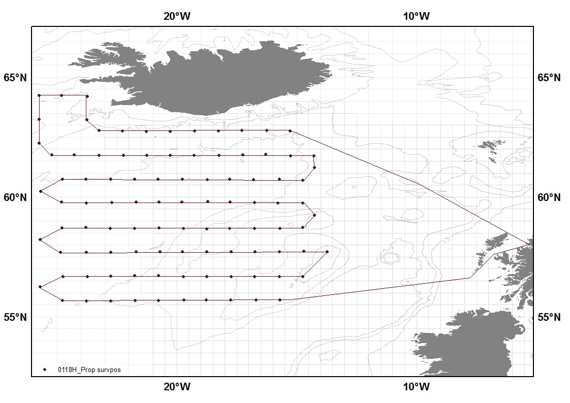
Figure 1: Map showing survey coverage for survey 0118H. Provisional cruise track denoted as solid red line. The proposed sample locations are denoted by red dots on the cruise track.
Tags: Altaire, egg survey, mackerel, plankton, Rockall, sampler, sampling, science

Leave a comment