
Marine
Egg-cellent Sampling with Altaire
April 2, 2019 by Marine Directorate Communications No Comments | Category Fisheries, Marine Directorate general, Marine Directorate Science, Marine Directorate Surveys, Research Vessel Surveys
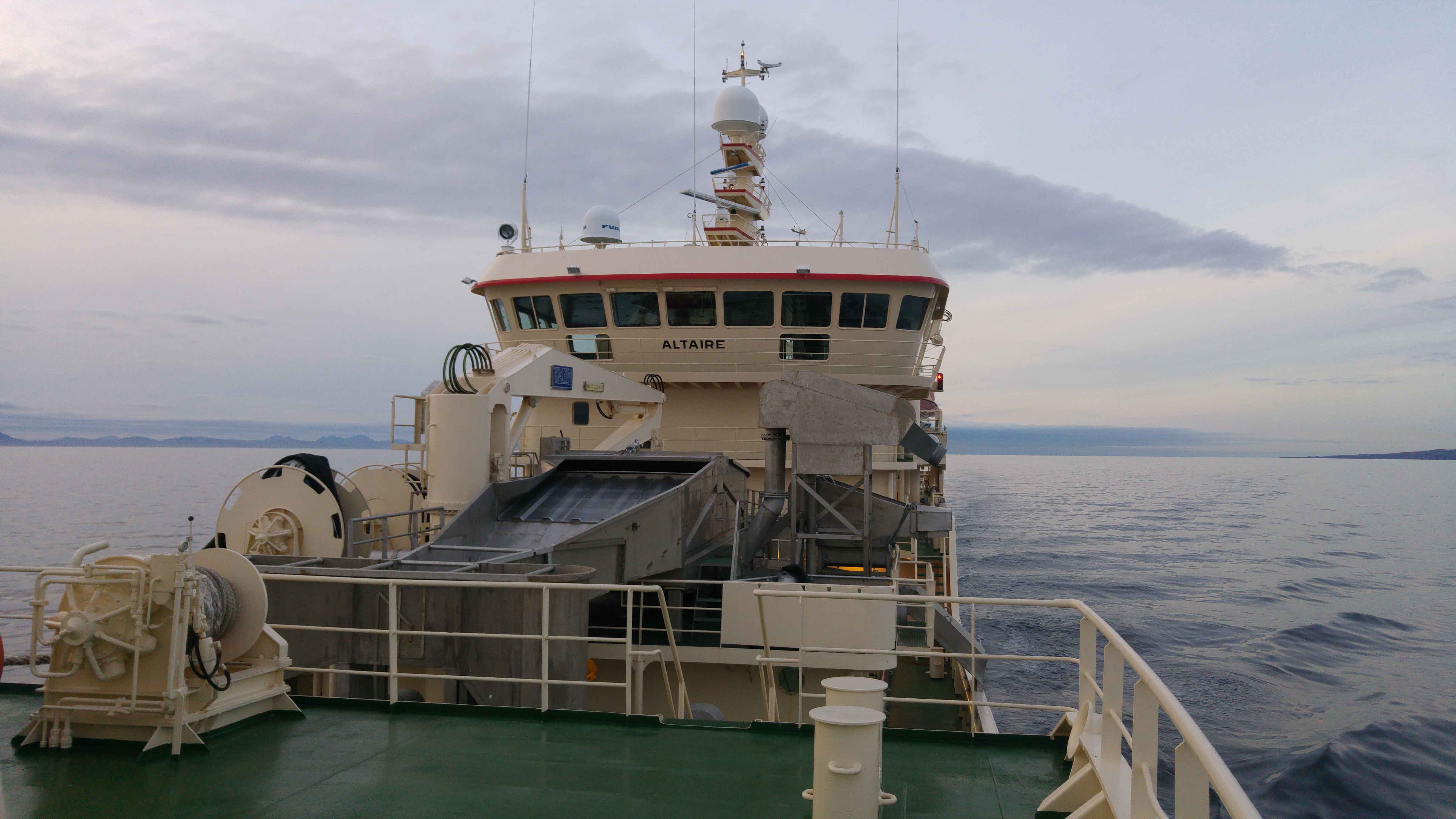
MFV Altaire (LK429) Programme
Survey: 0119H
Duration: 19 March – 1 April 2019
Fishing/Sampling Gear:
- Vessel’s own pelagic trawl
- Gulf VII plankton sampler with mounted seabird 19+ CTD (Conductivity Temperature Depth) unit.
Objectives:
- Carry out mackerel egg survey (ICES Triennial Survey), on the western shelf and shelf edge in the area from 53oN to 59o N (see Figure 1).
- Collect fish samples, by trawling, for atresia and fecundity analysis back at the laboratory.
Procedures:
After sailing from Ullapool, the vessel will proceed to the first plankton station line at 580 45’N 8o15W. Subsequent stations will be taken along the same line west at 30′ intervals. Transects will be at 1oS with stations at 30′ E/W intervals. Plankton samples will be taken using the Gulf VII sampler with mounted CTD to record salinity and temperature parameters during the tow.
The plankton tows will require the vessel to deploy, then proceed to tow the sampler at five knots. The sampler will then be lowered at a steady rate (10m/min) from the plankton crane to within 5 m of the seabed or 200 m – whichever is shallower. The sampler will then be recovered at the same speed. Once aboard, plankton samples will be washed from the sampler net, fixed in formalin and scored for egg abundance. Trawl samples will be taken at the discretion of the scientist in charge and will usually be taken at the shelf edge. Fishing will be targeted on the capture of samples of mackerel and horse mackerel for biological samples. It is expected that there should be a maximum of ten trawls for the whole survey.
Note that the precise length of each transect cannot be defined in advance as this survey uses an adaptive design, where sampling along a line will continue until there are no eggs or very small numbers of eggs encountered. The overall survey plan will be dictated according to the results that are recorded as the survey proceeds.
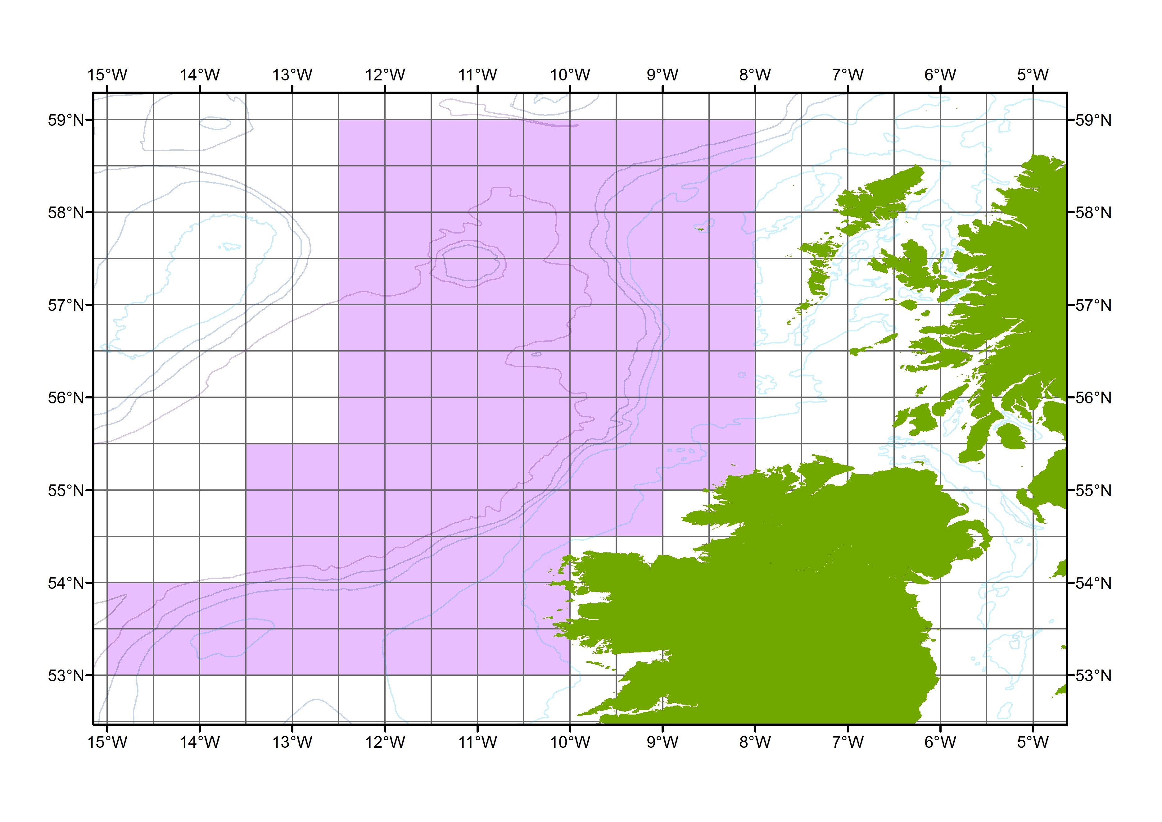
Figure 1: Approximate overall survey area (purple). The survey area is bounded by 53-59°N and approximately 08-15°W. The exact western extent of survey will be dependent on egg catch.
Further Information:
Tags: Altaire, egg abundance, fisheries, horse mackerel, ICES, mackerel, pelagic, plankton, research, sampler, samples, science, Survey, trawling

Leave a comment